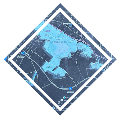
A map welcomes visitors and provides details of the hiking trails and notable sites in this natural area.
(hover for French)
Une carte accueille le visiteur et lui détaille les chemins de randonnée ainsi que les lieux remarquables de cet espace naturel.
cliquez pour l'anglais
Green Cities
(hover for French)
Des villes vertes
cliquez pour l'anglais
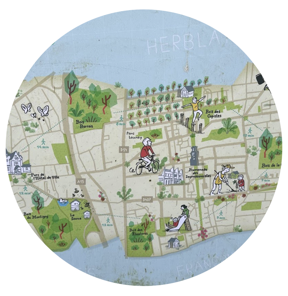
Montigny, a town bordering this natural area, offers walkers various wooded options for getting between the surrounding towns.
(hover for French)
Montigny, ville qui borde cet espace naturel, propose aux promeneurs différentes options boisées pour connecter les villes alentours.
cliquez pour l'anglais
A large area with a rich history.
Standing at 170 meters, the Buttes du Parisis (621 hectares) offer an extraordinary panorama of Paris and the entire Ile-de-France region, but also a history.
In the Middle Ages, the forests gave way to mills, pastures, vineyards, and orchards before being transformed into gypsum quarries.
The four hills that make up the Buttes du Parisis now offer incredible views of the main monuments of the Paris region.
In this highly urbanized area, this regional natural space has become a veritable green lung.
Weeping willow
(hover for French)
Le saule pleureur
cliquez pour l'anglais
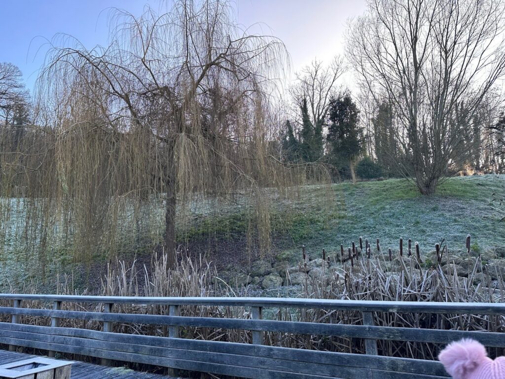
Weeping willows are emblematic of the banks of the Seine and lakes in the Île-de-France region. They thrive in humid conditions and require a lot of space to flourish.
(hover for French)
Le saule pleureur est emblématique des bords de Seine et plans d'eau en Île-de-France. Ils aiment l'humidité et nécessite un très grand espace pour s’épanouir.